Lake Cushman Recon
By Tom Neal
Bigfoot Trails Basecamp | Independent Adventure Media
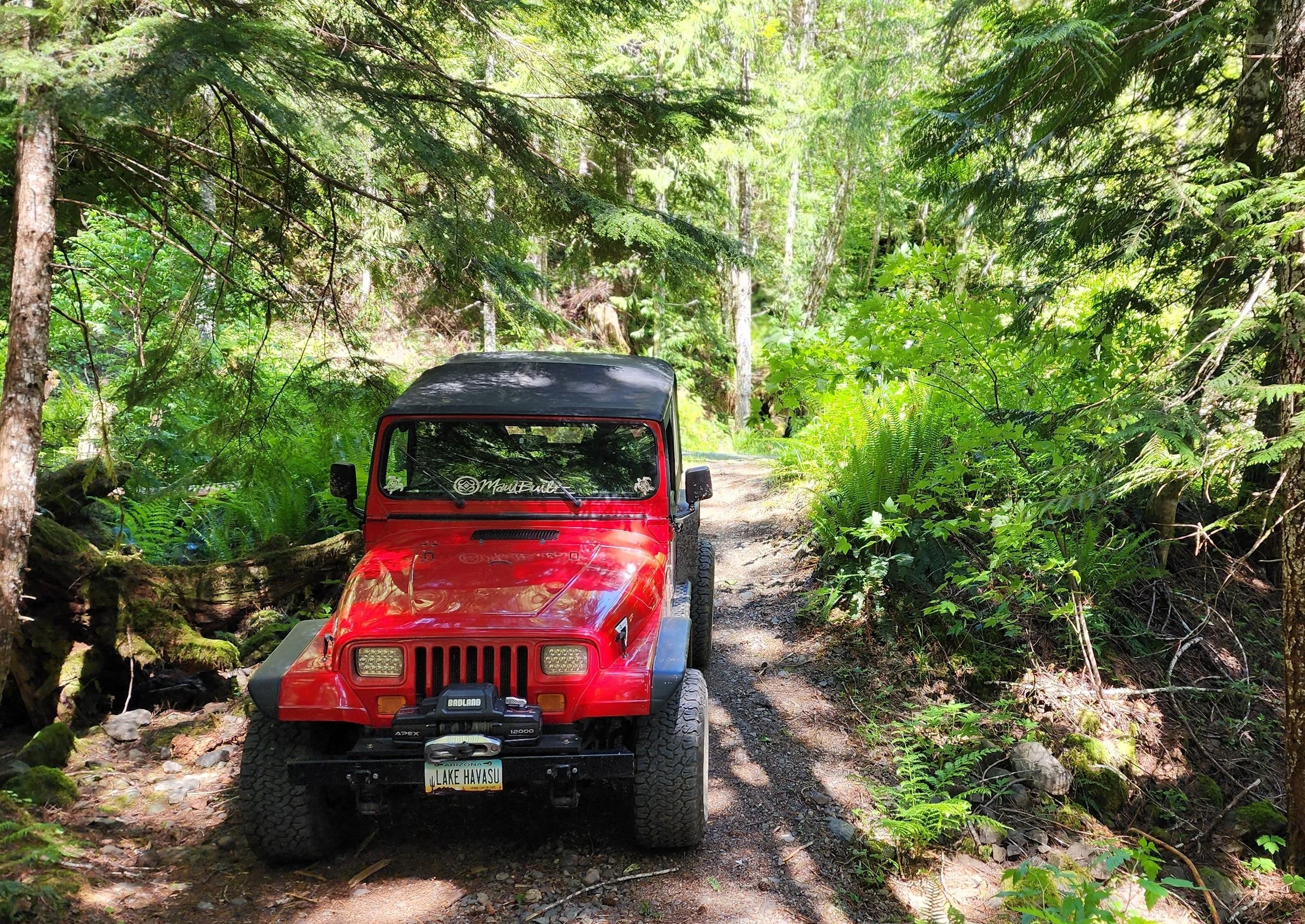
Pulling into my camp spot
As a trail guide for OnX Off-Road, I've been able to get out and explore areas local to me — and have a good reason to do it.
This past spring, I decided to hang around the Lake Cushman area and explore. I mapped out a couple of trails, and both turned into pretty damn good little adventures.
The first one took me to a couple of places with camping, one of which I fell in love with.
Basically, you travel up to the Lake Cushman area and follow the signs toward Staircase. The road follows the lake for a few miles before you get close to the Staircase area. There’s a road off to the left that crosses the lake over a bridge, and from there you work your way through a few cabins and toward a hiking trailhead.
Once past the trailhead, the road gets narrower and starts climbing.
A few miles up, the road splits. One direction continues climbing and eventually opens up into a couple of small dispersed camping areas with plenty of parking for multiple vehicles.
But I really liked the other direction.
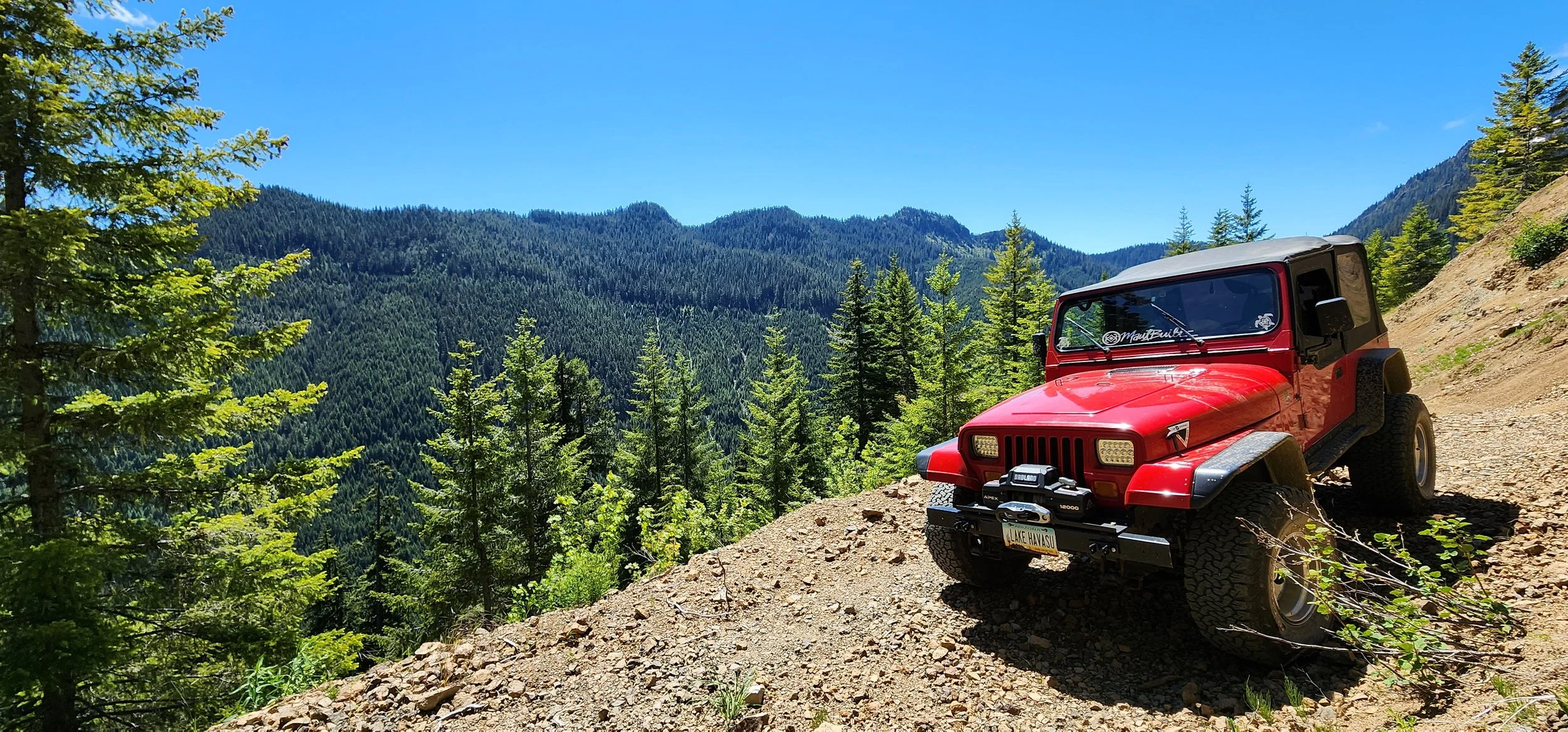
The trail gets tighter the farther you go. About halfway through, there’s a short side trail that leads to a beautiful open area overlooking the valley below.
That was my spot.
I set up the hammock from the Jeep to a tree and just chillaxed for a while.
No particular reason to hurry.
That’s one of the things I like about exploring these areas. You can be out there with a purpose — in my case, mapping trails — and still stumble across a place that makes you forget what the purpose was for a little while.
Eventually, I got back on the trail.
There were some washout areas, and things could get a little technical for a stock vehicle or AWD SUV. There was also plenty of brush growing over the trail, which means your paint is going to get some pinstriping if you go far enough.
At the end of the trail, there was another spot where you could probably set up a dispersed campsite.
But why would you?
The valley overlook was calling.
When I was there, there were still some areas with snow on the ground, so I had a little fun playing with the Jeep in the snow before heading back out.
Another adventure took me up past Lake Cushman again, but instead of turning toward Staircase, I went right at Big Creek toward the Mt. Elinore, Elk Lake, and Jefferson Lake areas.
This turned into another multi-trail run.
The beginning was fun, but I kept seeing too many vehicles — and this was on a Wednesday.
So I ventured deeper in and farther north, following NF24 to NF2441.
Eventually I worked my way toward Elk Lake and then over to the Jefferson Lake area. From there, the trail continues toward Jefferson Creek.
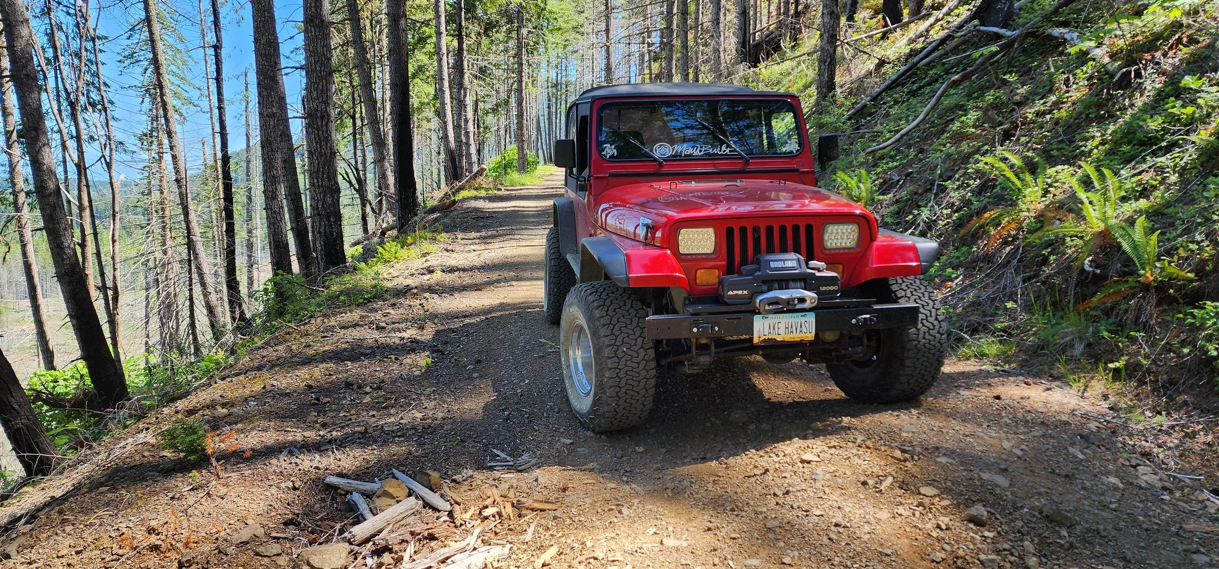
Not too far after turning onto the Jefferson Creek Trail, I found another beautiful camping spot.
This one was down off the main trail, with a creek running along the backside of the campsite.
It wouldn't be a great place for a traditional tent, but if you have a rooftop tent, sleep in the bed of your truck, or like hanging a hammock, it would be awesome.
I spent a lot of time down there.
It was quiet, tucked away, and exactly the kind of place I was looking for.
You can continue farther up Jefferson Creek Trail and eventually take another trail toward Goober Pond.
That was another really cool, out-of-the-way spot that I could see spending a lot more time exploring.
That’s really what these mapping runs became for me.
I started out with a reason to explore because I was mapping trails for OnX.
But the more I got into it, the more I realized how much there was to find right here in my own backyard.
Sometimes you don't have to go looking for some huge adventure.
Sometimes you just need a Jeep, a map, and a reason to see what's around the next corner.
Update — December 2025
This area does not look like this anymore.
A major wildfire burned from July through mid-October 2025, consuming more than 19,000 acres. The terrain, tree cover, and access in this area have changed significantly.
If you're heading into the area now, don't assume the trails and campsites described above are still accessible or look the same.
Expect altered routes, closures or restrictions, unstable ground, and debris.
Huge respect to the firefighters who worked to keep the fire from becoming far worse.
This story is a snapshot in time — what I found when I explored the area that spring — not a guarantee of current conditions.
Check current maps, closures, and conditions before heading out.
About the Author
Tom Neal is the founder of Bigfoot Trails Basecamp, an independent adventure media project built around real experiences. He’s spent most of his life around vehicles, motorcycles, racing, travel, and projects that tend to take longer and cost more than originally planned.
After decades of doing all that stuff, he’s learned that the best stories usually aren’t the ones you planned. They’re the people you meet, the places you stumble across, the things that go wrong, and the moments you never expected.
That’s what he wants to capture with BTB.
He doesn’t want to write about adventure from the outside. He wants to go experience it, then tell you what happened.
Bigfoot Trails Basecamp | Independent Adventure Media
Overlook
Jefferson Creek Trail